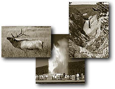
%20of%20hikingmadisonbar.JPG)
Madison
Canyon is a tranquil valley where the Firehole and Gibbon rivers converge
to form the Madison River, one of three primaries that form the headwaters
of the Missouri River. But this peaceful valley narrowly escaped development
during the mid 1960s. The National Park Service proposed that two large
developments be built in Yellowstone for their "Mission 66" projects. One development, Grant
Village, was carried through. It's sister project at Madison was to
be be "grander than the valley
of Yosemite." But Madison escaped development first because funds
were being diverted to the building of Mammoth residences and then later
because of a waning lack of interest by the Park Service. The
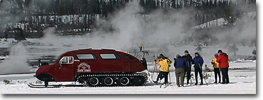
campground at Madison is one of the few in the park that is centrally
located, providing access to the thermal basins and some of the best
fishing sites. A diverse system of trails also originate at the campground.
Some of the trails lead along the
river to bathing "hotpots", secret lakes or spectacular views
from a mountain summit.
Other trail areas reached from Madison
include short and long hikes from West Yellowstone, as well as hikes
originating from the Gallatin Parkway. This area witnesses less foot
traffic but possess wonderful and scenic hiking terrain.
Purple Mountain
Length: 2.6 miles, one way.
Elevation change: Trailhead at 6,840 feet (1,590-foot gain).
Trailhead: Located at Madison Junction, about 0.3 miles north of the
junction on the Madison-Norris Road. The trailhead begins at the barricade
on the west side of the road, where there is a small turnout for parking.
Most hikers staying at Madison Campground
can approach the trailhead on foot by hiking past the campground entrance
station, crossing the road, and following a path to the Park Service
employee-housing area. From there, roughly follow the road east, and
route-find through the development to the trailhead. Following the highway
also is possible, but heavy traffic and narrow shoulders make the highway
hazardous for hikers.
The trailhead starts at the western edge
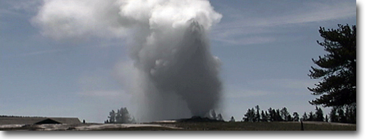
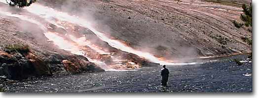
of a Gibbon River meadow, and the area generally is saturated by springs
at the foot of the mountain and run off from nearby thermal Terrace
Spring. Once into the trees, the trail begins a steep ascent of Purple Mountain (8,433 feet). From halfway
up to the roundish summit are excellent views of the surrounding landscape,
visible through thin stands of trees. Just to the south is National
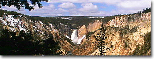
Park Mountain, which is part of the southern rim of Madison Canyon.
Beyond the rim is the relatively level but undulating and extensive
Madison Plateau. It was here during mid-August of 1988 that the man-caused
Northfork Fire raced across the plateau and burned Purple Mountain. Campers staying in Madison Campground
were not given adequate notice of the advancing threat. As the fire
approached, most campers were out sight-seeing and, upon their return,
were cut off and unable to claim their possessions for several days.
Luckily, nobody was trapped or injured in the blaze. The extensive burn
can be seen on the plateau. Purple Mountain, and Gibbon and Madison
valleys. Purple Mountain was named
in 1904 by geologist Arnold Hague, probably for weathered outcroppings
of rhyolitic welded ash.
Harlequin Lake Trail
Length: 0.3 miles, one way.
Elevation change: Trailhead at 6,789 feet (120-foot gain).
Trailhead: Located on the north side of the West Entrance Road, 1.9
miles west of Madison Junction. The trailhead is not well-marked, but
on the opposite side of the road is a visitor turnout that overlooks
the Madison River.
This is a short, enjoyable hike for campers
staying at Madison Campground. The trail wanders through lodgepole pine
that burned in the 1988 fires to a IO-acre lake that is rimmed with
cattails, rushes and yellow pond-lily pads.
Harlequin Lake was known as "Secret
Lake" during the late 1940s and 50s because of its secluded location
near the road. At that time, trumpeter swans were frequent nesters at
the lake but in 1958, the lake was named after the colorful duck. On
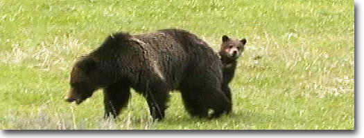
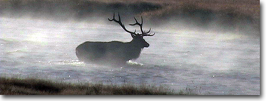
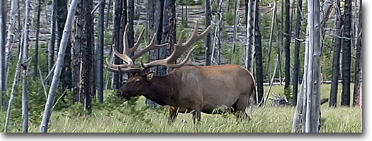
the northern edge is a beaver lodge, and elk frequent this lake in the
early summer and fall as well. But the lake itself is considered barren
of fish. It is between 4 and 11 feet deep, and most of the lake freezes
during winter.
Riverside Trail
Length: Up to 4.0 miles.
Elevation change: Trailhead at 6,640 feet (no substantial elevation
change).
Trailhead: The turnoff for the old service road is 0.5 miles east of
the West Entrance. The turnoff is on the north side of the road and
leads another 1.0 miles to the parking area. Or, a spur ski trail or
bike path leads from the town of West Yellowstone, avoiding the necessity
of driving to the trailhead.
This is an excellent, easy, short hike
that is accessible from West Yellowstone. It can be made as long or
short as possible because it primarily follows game and fishermen trails
along the bank of the Madison River. It is an especially interesting
hike early in spring when wildflowers are emerging and blooming in the
meadows.
A fun spur trail accesses the Riverside
trailhead from town and this trail is one of the few bike paths in Yellowstone.
For residents of West Yellowstone it is a popular mountain bike ride
or a short ski trip. The spur trailhead begins at the east end of Madison
Avenue at the park boundary at a break in the pole fence. From there
the trail follows a power line
to the old service road and merges with it shortly before Riverside.
The scraped gravel meadows at the end
of the service road formerly were called "the Barns" in reference
to their use as a staging area for livestock back to the Army days of
the 1880s. It later became a dumping area and also serves as the trail
exit for the Cougar Creek Trail (see Cougar Creek Trail for description).
The Riverside Trail also is used as a
fishermen's access. The south path leads to a turnout on the West Entrance
Road, and the north path leads downriver, past the river ford, to wildlife
meadows and willow thickets. It is possible to reach U.S. Highway 191,
emerging at Bakers Hole Campground. But the last section requires bushwhacking
through willow thickets and marshy seeps.
Sentinel Meadows and Queens Laundry
Lengths: Fountain Flat Freight Road/Steel Bridge/Ojo Caliente Trailhead
to:
Sentinel Meadows I mile, one way.
Queen's Laundry 1.7 miles, one way.
Elevation change: Trailhead at 7,200 feet (No substantial elevation
change).
Trailhead: Located at the steel bridge, about 1.3 miles from the start
of the north entrance to the Fountain Flats Drive.
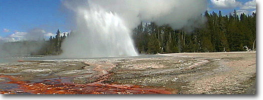
Sentinel Meadows is located off the Fountain
Flats Drive (which once was the old Freight Road) in the Lower Geyser
Basin. The road is a spur road off the Madison-Old Faithful Road, and
the trailhead is about 1.3 miles from the junction at the crossing of
the Firehole River by means of the steel bridge. The trail begins across
the river from Ojo Caliente Spring and heads west to the meadows and
thermal springs.
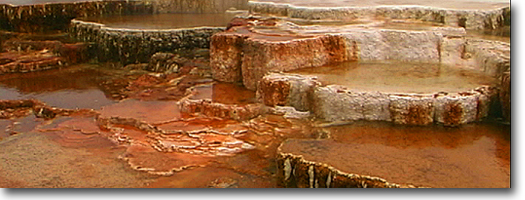
The flat, open, sedge- and rush-covered
meadow is dotted with hot-spring mounds. Most of the cones are 20 feet
high and nearly void of plant life.
On the top of each is a boiling spring, usually encrusted with a sinter
rim. During early summer, the sedge meadow is bright green, dotted with
blue-eyed grass and, by fall, the sedges cure to a golden orange.
Sentinel Creek meanders through this
meadow, at the extreme western edge of which is Queen's Laundry. In
1880, Army Park Superintendent P.W. Norris, while constructing a road
across Fountain Flats, noticed steam rising along Sentinel Creek. The
construction crew discovered the large pool with a drainage channel
cool enough for bathing. They strung up their bright clothing on stumps
and branches and the camp cooks "dubbed it the Laundry, with a
variety of prefixes, of which I deemed the most appropriate adheres,
and hence the name." The following year, Norris built a two-room
bath house with a sod roof. This curious log cabin still remains.
Just east of Queen's Laundry, the trail
junctions and leads into the forest; this trail also returns to the
Fountain Flat Drive. Most of the trail is through lodgepole forest,
small marshy meadows and circumvents a small knoll between the two trails.
This trail connects to the Fairy Creek trail and emerges about a half
mile south of the steel bridge.
|